2005 Monitoring:
Photo Documentation
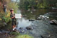
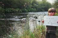
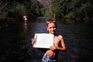
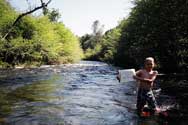
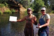
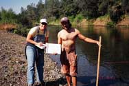
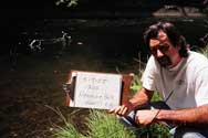
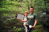
Volunteers take photographs upstream and downstream at each monitoring station to document stream conditions during the day they collected information. These photos are added to the field notebooks for each site and are useful to track weather conditions, seasonal changes, riparian vegetation condition, substrate type, and water clarity during monitoring events.
(Click on photos for larger image)
Oct. '04, Brown's Hole looking upstream.
|
Brown's Hole Looking downstream.
|
May '05, Brown's Hole looking upstream.
|
| |
May '05, Brown's Hole looking downstream.
|
May '05, Five-mile looking upstream.
|
May '05, Five-mile looking downstream.
|
| |
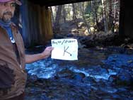
May '05, Installing Temperature Logger below Henning Hole.
|
May '05, Dancefloor Hole looking upstream during "Feet for the Creek" demo.
|
Nov. '05, Bioassessment monitoring transect looking downstream below Hwy 32 Bridge Crossing.
|
| |
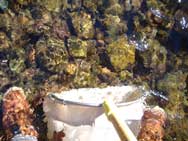
Oct. '05, Bioasseesment monitoring substrate photo at Rose Ave.
|
|
|
)
)
)
)
)
)
)
)
)
)